In a world dominated by digital navigation and satellite imagery, there's something profoundly charming about hand-drawn maps. They capture not just the geography of a place, but its essence, culture, and spirit. The illustrated map of Xita Village (溪塔村) stands as a perfect example of this cartographic art form. Let's journey behind the scenes to explore how the talented team at Mapful.art likely transformed this Chinese village into a vibrant, informative work of art.
The Client Consultation: Understanding Xita Village
Every great map begins with understanding. The Mapful.art team would have initiated their creative process with a comprehensive client consultation to grasp:
- The specific boundaries and geographical scope of Xita Village to be represented
- Essential landmarks, cultural sites, and points of interest requiring special attention
- The desired aesthetic direction and artistic style that would honor the village's character
- The map's intended purpose—whether for tourism, community use, or cultural documentation
- The target audience and their information needs, influencing details and labeling choices
This initial phase establishes the foundation upon which all artistic decisions are built, ensuring the final product serves both practical and aesthetic purposes.
Design Development: Crafting the Visual Language
With requirements in hand, the designers likely proceeded to develop the map's visual framework:
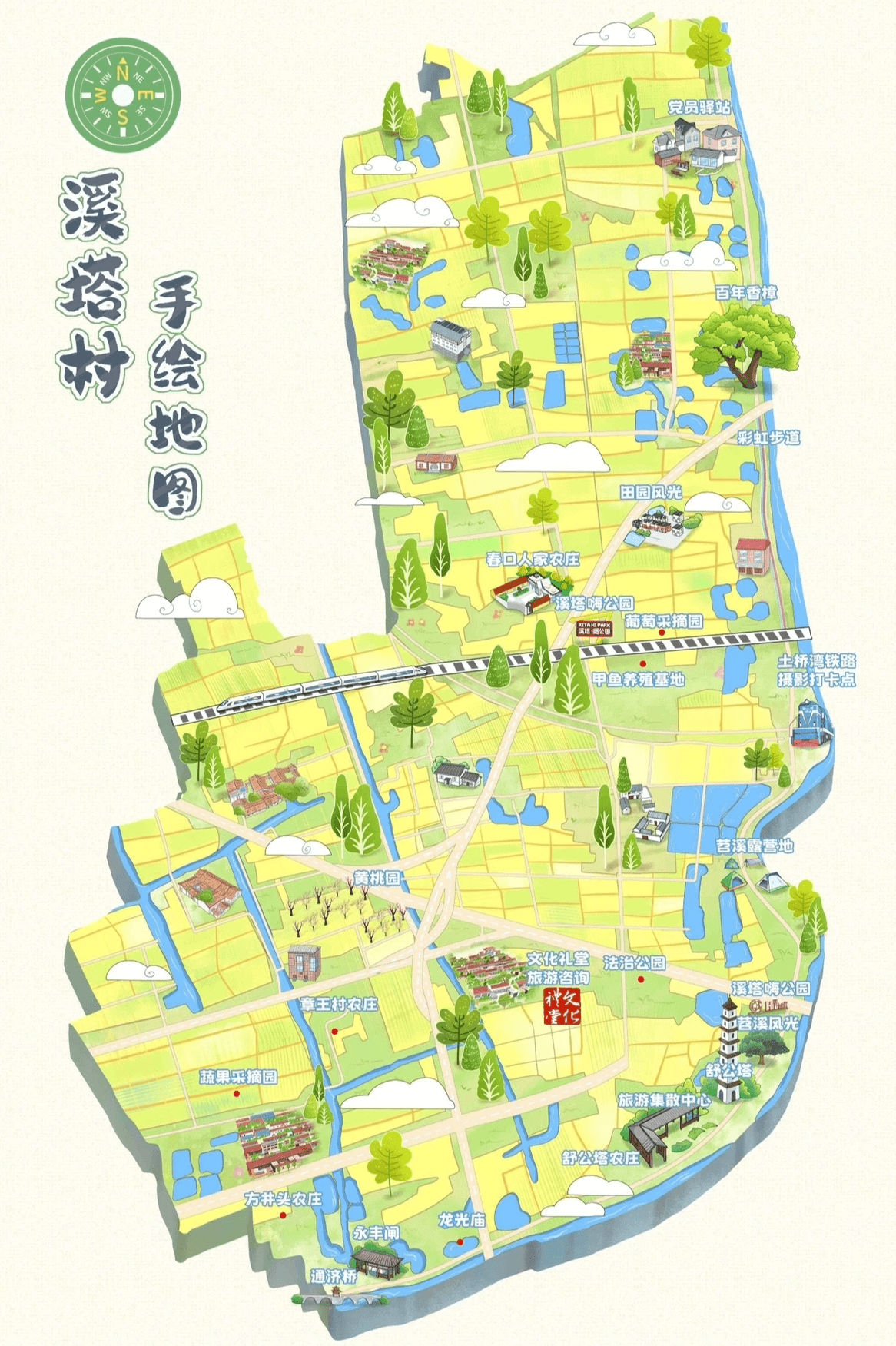
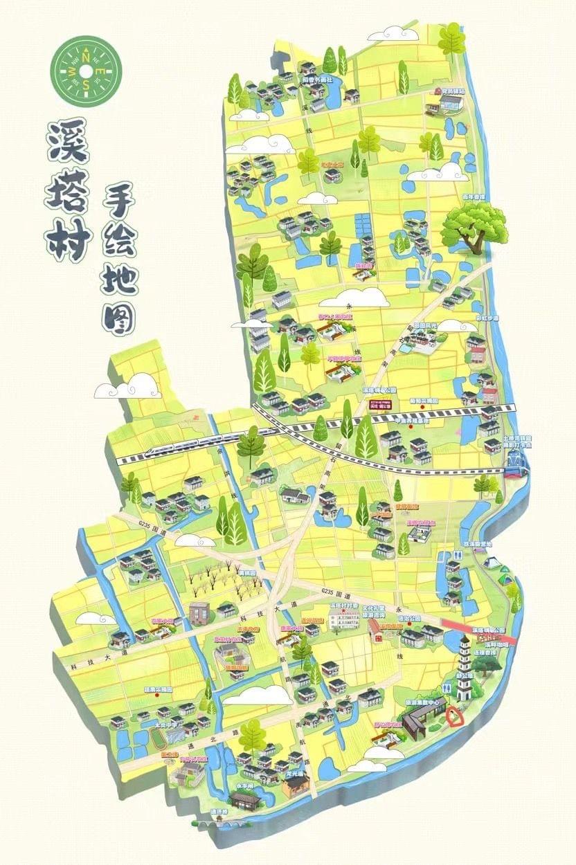
- Base Layout Creation: First establishing the geographical boundaries and spatial organization of Xita Village, determining what would appear within the frame
- Color Palette Selection: The cheerful yellow-green base that dominates the map creates a warm, inviting feel, while blue waterways provide natural contrast and definition
- Artistic Style Development: The distinctive hand-drawn illustration style gives the map its personality—detailed enough to be informative yet stylized enough to charm
- Perspective Choice: An isometric 3D view provides depth and dimension while maintaining directional clarity—allowing viewers to "see" buildings rather than just symbols
This careful balance between geographical accuracy and artistic interpretation forms the map's unique visual character.
Key Elements: Blending Information and Artistry
What makes this map both useful and beautiful is the thoughtful implementation of essential cartographic elements:
- Orientation Tools: A traditional compass rose in the top left corner grounds viewers in cardinal directions
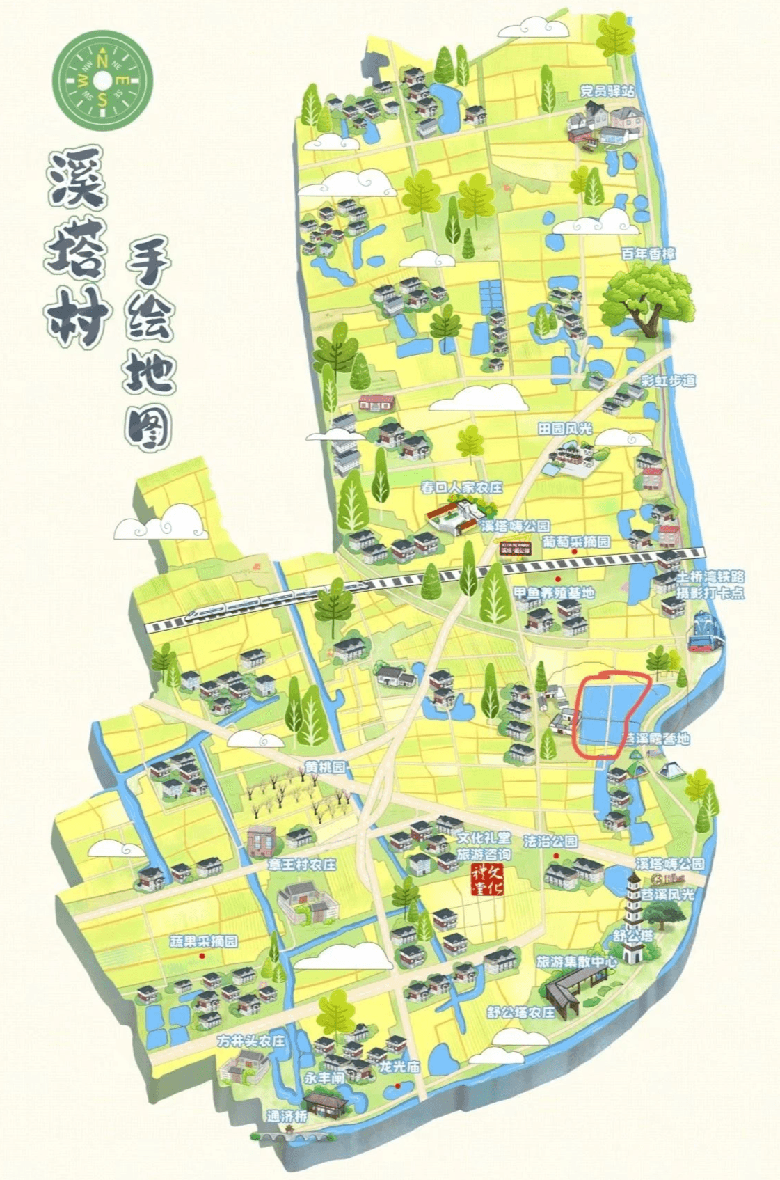
- Water Features: Carefully illustrated blue waterways and boundary waters define natural borders and landmarks
- Transportation Infrastructure: Railway lines and main roads clearly marked to facilitate navigation
- Building Representations: Miniature traditional-style buildings showing settlement patterns and architectural character
- Vegetation Details: Various tree illustrations adding texture, visual interest, and environmental context
- Landmark Identification: Key locations labeled in Chinese text, preserving local naming and cultural integrity
- Scale Consideration: While not strictly to mathematical scale, the map maintains proportional relationships while allowing important features to receive appropriate emphasis
These elements work harmoniously to create a map that tells Xita Village's story while serving as a practical navigational tool.
Digital Production: Traditional Aesthetics, Modern Methods
While the map maintains a delightful hand-drawn appearance, modern digital tools likely played a crucial role in its creation:
- Ensuring consistency across repeating elements and stylistic details
- Allowing for precise text placement and optimal readability
- Enabling color consistency with the ability to adjust tones and saturations
- Facilitating revisions and refinements based on client feedback
- Creating high-resolution outputs suitable for various printing formats and digital applications
- Preparing the artwork for potential future updates as the village evolves
This blending of traditional artistic sensibilities with digital production capabilities results in a map that feels authentic while meeting modern quality standards.
The End Result: More Than Just Geography
The illustrated map of Xita Village represents far more than geographical data—it's a celebration of place. Through thoughtful design choices and artistic skill, the Mapful.art team has created a visual document that:
- Preserves cultural heritage through visual storytelling
- Makes navigation intuitive and enjoyable for visitors
- Highlights the unique character and layout of Xita Village
- Creates a keepsake that connects people to this special place
In our digital age, these artistic cartographic creations remind us that maps can be both informational tools and works of art—capturing not just where things are, but how a place feels.
The next time you admire a beautifully illustrated map like this one, remember the careful thought, artistic vision, and technical skill that transforms simple geography into a cultural treasure.